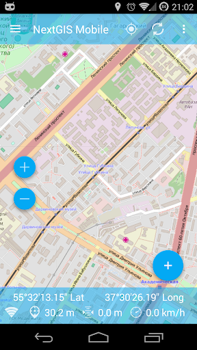
Automatic filtering of GPS point if the location accuracy is too low
Multiline import fixed
- Added Viewing photos from the NGW server
- Fixed some bugs
Support for spaces in field names
Less restrictions for attribute field names
Sync via intranet for on-premise accounts
Notifications work
Sync via intranet for on-premise accounts
Fix opening a very large layers (Feature table )
Fix on-premise login issues
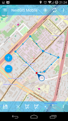
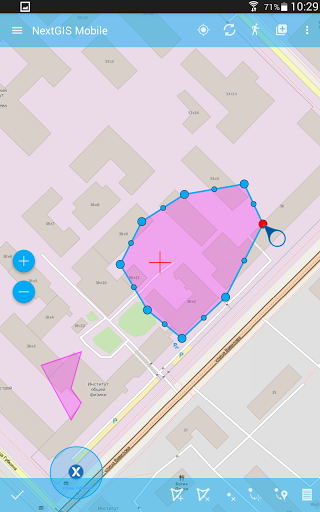
Fix polygons with holes
Auth from custom server fixed
Auth from custom server fixed
Some changes to improve stability
Some changes to improve stability
- Fixed login issues with special symbols in password
- Fixed geometries with holes
Added show password button and other improvements
Added image picking support for Android 11+
Fixed wrong polygon and line geometries
Fixed files support for Android 10
Updated the NextGIS ID sign in process
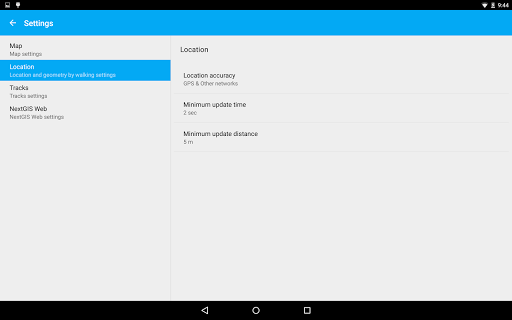
Support for Android 10 background location usage
Added logs to sync process
Added extended logs and fixed data duplication to cloud
We fixed bug in landscape orientation and changed some strings for more obvious titles.
Hotfix for "My tracks" UID
Added on-premise NextGIS ID support
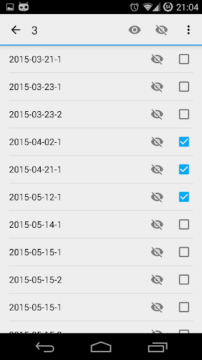
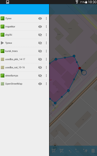
Added layer restore from DB feature
Sort fields in forms small fix
Added new form control - averaging.
Updated photo form control - now photos can be grouped by comment via FormBuilder.
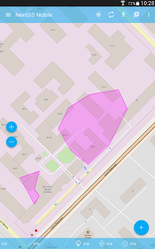
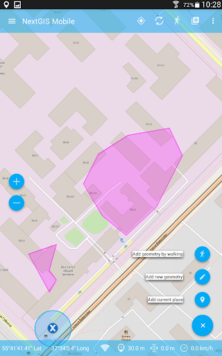
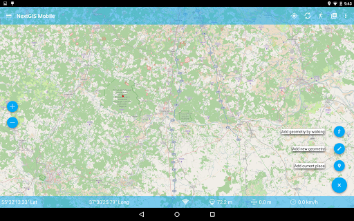
Let edit geometry after walk session finish.
Fixed layer export with null fields
Fixed combobox element visibility in forms
Read this! Hotfix for unexpected error at sync!
If you've downloaded layers from WebGIS or nextgis.com cloud you must delete them and redownload again from left side menu.
GeoMultiPoint can be saved to coordinate form control now
Improved cloud layer sync
Improve share layer info messages
Fixed wrong default settings
Fixed photo picker saving state in forms
Fixed polygons selection out of its bounds
Fixed wrong counter in forms
Update pricing policies
Bugfixing for default form combobox value
Negative numbers in form controls
For BigInt form support
Bugfixing for default form combobox value
Bugfixing for tabs form control
Fixed trackpoints WebGIS sending
Bugfixing
Bugfixing
Bugfixing
Added support for forms hosted at nextgis.com/NextGIS Web
Bugfixing for Android 8+
Added support for forms hosted at nextgis.com/NextGIS Web
Bugfixing for Android 8+
Added support for forms hosted at nextgis.com/NextGIS Web
Fixed "Share" layer bug
Fixed geometry by walk save bug
Fixed layer deletion confirm dialog
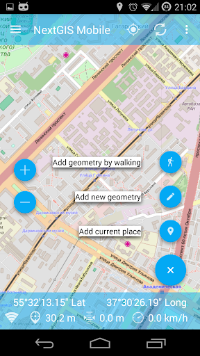
Added distance form control
Added distance to point in edit mode
Fixed layer deletion confirm dialog
Hotfixes
Fixed Web-GIS adding (URL with port)
Added layer deletion confirm dialog
Added:
-PostGIS support from nextgis.com
-imperial units
-zoom level indication
-measure distance from current location
Fixed:
-polygon labels
-URL validation
-eror on ZIP raster archives
Added:
-PostGIS support from nextgis.com
-imperial units
-zoom level indication
-measure distance from current location
Fixed:
-polygon labels
-URL validation
-eror on ZIP raster archives
Added customization for point labelsBugfixing
Fixed ZIP TMS importAdded titles for point features
Bugfixing
Bugfixing
Fixed Pro user check
Added Pro version supportAdded new form control
- Freehand geometry editing- Upload created layer to nextgis.com- Zoom to extent for nextgis.com raster layers- Reduce unnecessary map redrawing- Update layer settings:- Sync tab for nextgis.com layers- Set sync directions- Delete raster cache button- Delete all features button- Add zoom scales and current zoom in km- Links in attributes are now clickable- New support screen- Intro screen- my.nextgis.com integration
- Freehand geometry editing- Upload created layer to nextgis.com- Zoom to extent for nextgis.com raster layers- Reduce unnecessary map redrawing- Update layer settings:- Sync tab for nextgis.com layers- Set sync directions- Delete raster cache button- Delete all features button- Add zoom scales and current zoom in km- Links in attributes are now clickable- New support screen- Intro screen- my.nextgis.com integration